Application of LiDAR Technology in the Documentation and Digital Modeling of Archaeological Heritage
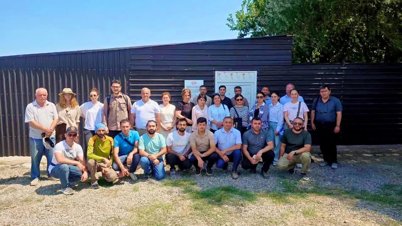
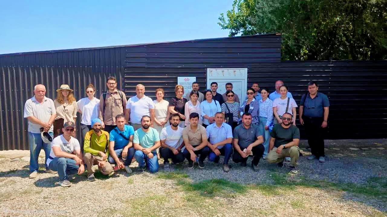
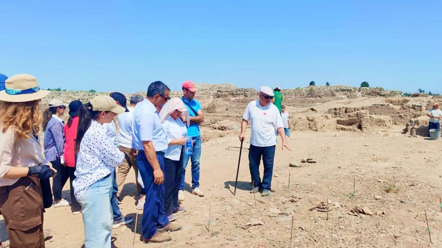
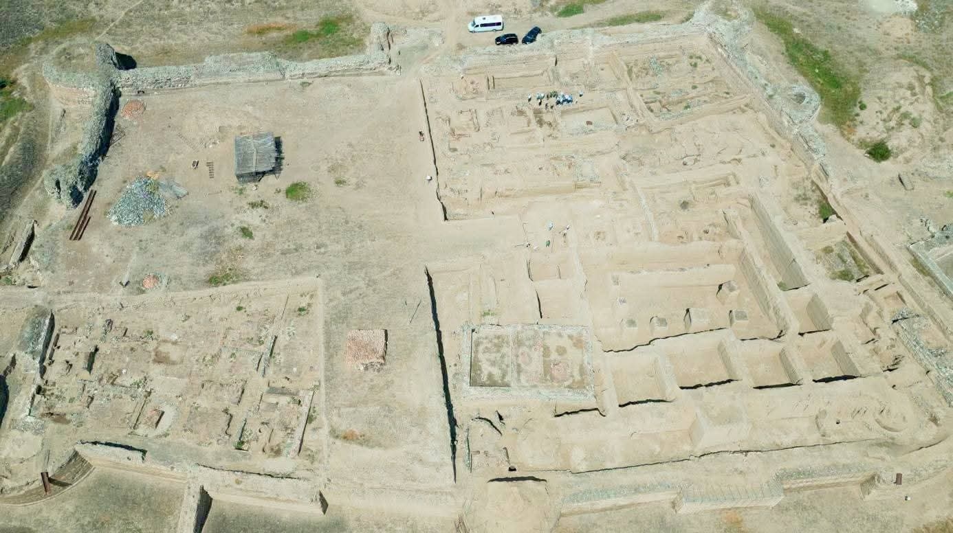
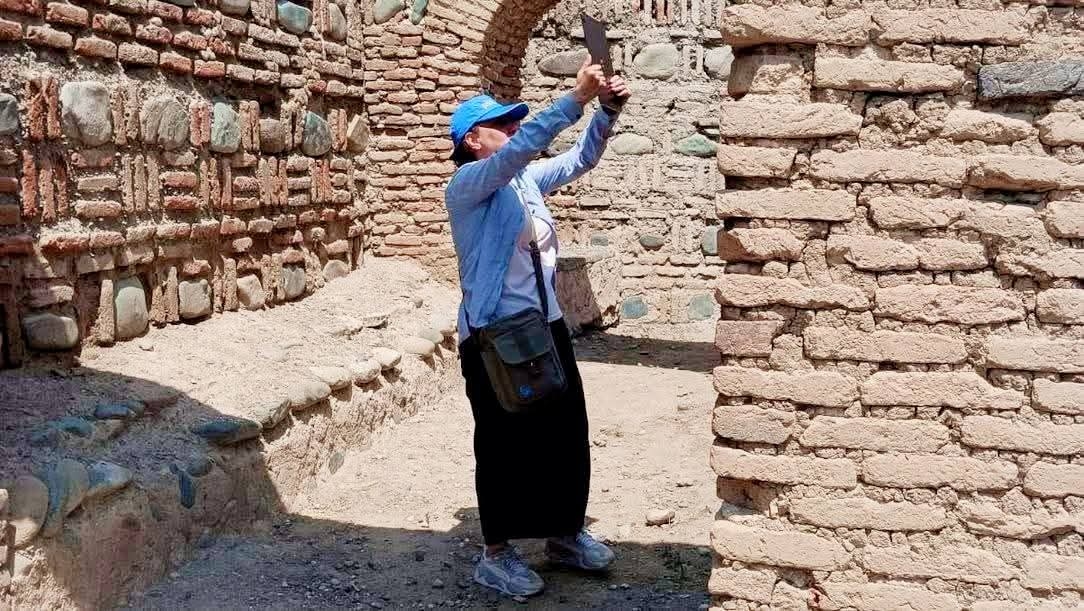
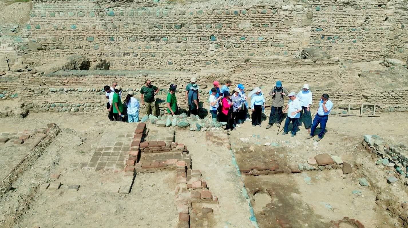
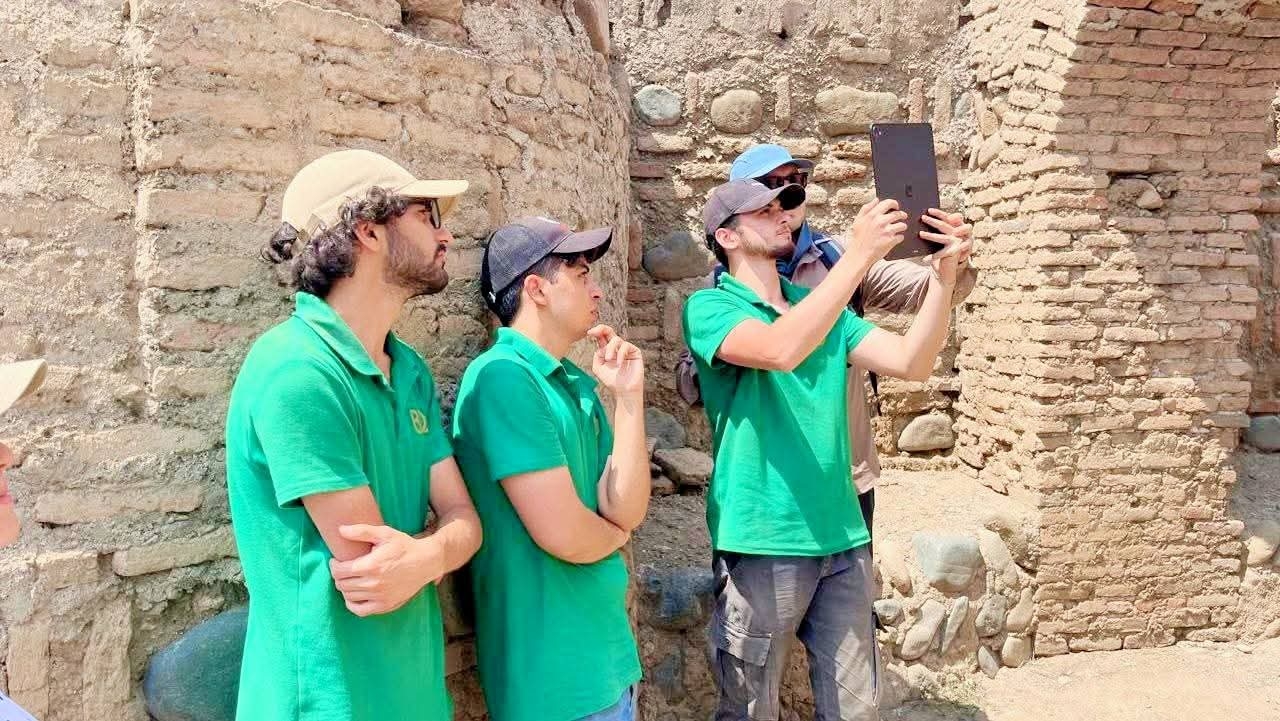
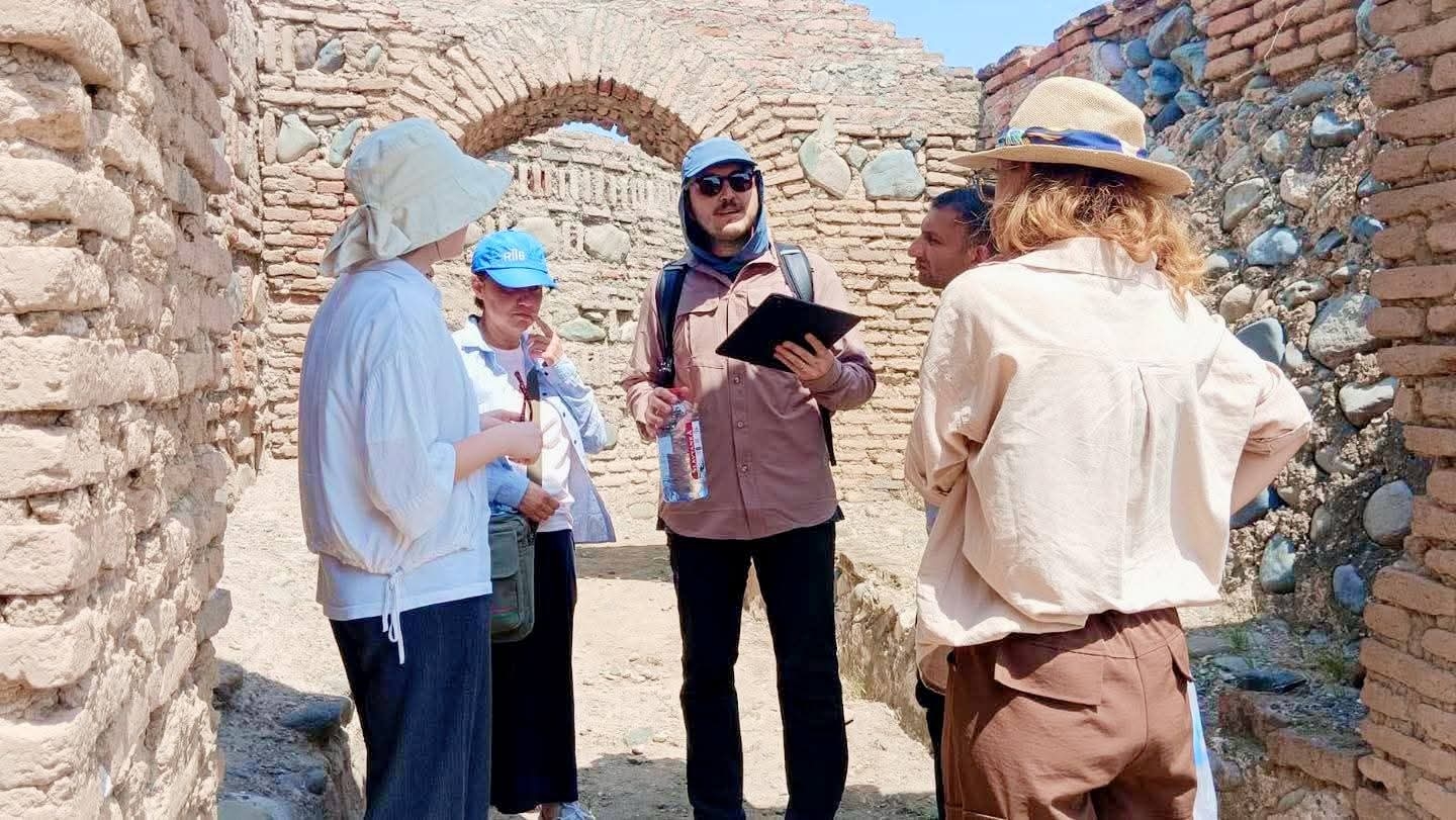
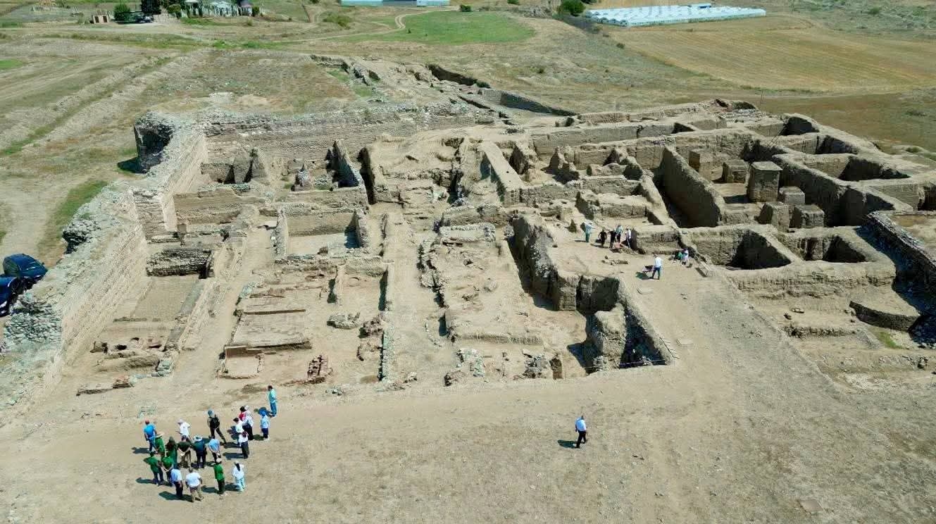
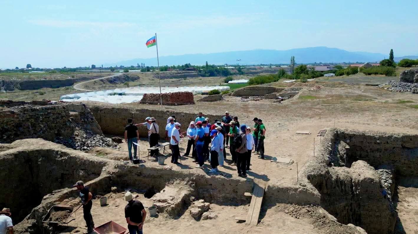
Practical work has continued toward the high-precision documentation of archaeological heritage, the collection of spatial data in a digital environment, and the creation of three-dimensional models of monuments. As part of the training, the application of LiDAR technology in archaeological research, the acquisition of digital data on surface and architectural elements, data processing, and 3D modeling processes are being learned through practical exercises. Organized jointly by the State Service for Protection, Development, and Restoration of Cultural Heritage under the Ministry of Culture and the Institute of Archaeology and Anthropology of ANAS, and led by invited specialists from the Republic of Türkiye, the next field practice of the scientific-practical training on “Digital Architectural Graphics and Documentation Methods” took place in the “Ancient Shamkir City” State Historical-Cultural Reserve. During the field sessions, practical work was carried out on scanning archaeological and architectural remains within the reserve using LiDAR, generating point clouds from the acquired data, and processing digital information. Based on the collected spatial data, three-dimensional (3D) digital models of archaeological objects were created, and their potential use in future research, documentation, and conservation efforts was demonstrated. The practical sessions provided participants with the opportunity to apply their theoretical knowledge in the field regarding the integration of LiDAR-based data into the planning, dimensioning, spatial analysis, and digital documentation of archaeological objects.